Historical sites
The name of the village first appeared in a Lombard record of 735 as “Blixuni”, then as “Blexuno” (852), “Blascono” (962), “Bisono” and “Bissunio”. In the 14th century the land was part of the Duchy of Milan, held first by the House of Visconti, then by the Sforza one. The existence of a fortified building, where the town hall stands today, was recorded in 1054. From Bissone you would reach Campione, and, going through Arogno, the Intelvi Valley, Lake Como and northern lands.
The lake crossing towards the Melide peninsula enabled travellers to reach Lugano and its upper valleys. From an ecclesiastical point of view, Bissone depended on the Pieve of Riva San Vitale until 1474, when it was allowed to form an independent parish.
The expansion of the settlement from the old foothill road towards the lake was due to the ever-greater importance of fishing, whose rights were granted to residents right from the Middle Ages. Subsequently, the lake front saw houses built by middle-class families, who created the distinctive brickwork arcades, used to give shelter to boats, materials and to allow cover for trade and transit.
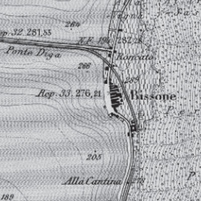
Bissone 1892 (road and railway)
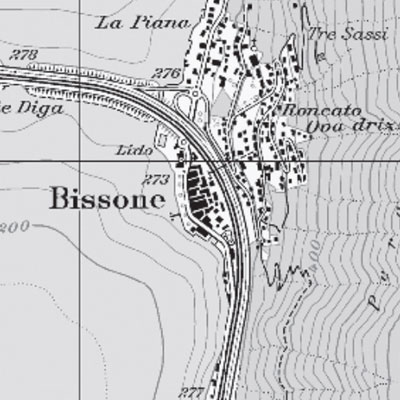
Bissone 2001 (road, railway and speedway)
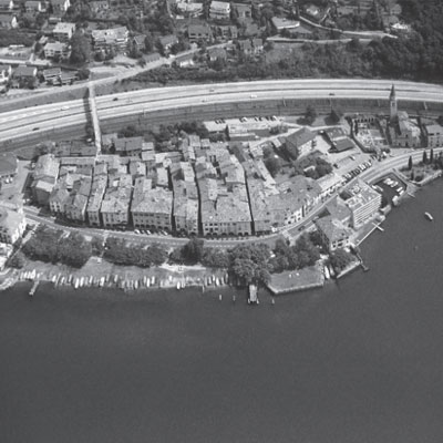
Bissone, 1992
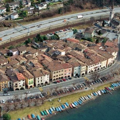
Panorama of the Bissone nucleus before the construction of the noise shelters
Coat of arms of Bissone
The coat of arms of the Municipality of Bissone, approved on 26 July 1952, depicts two blue snakes, undulating, facing each other. The coat of arms was taken, without any particular modifications, from that of a noble Lombard family, the De Bisonos, who appear in the “Archinto” armorial, commissioned by Count Ottaviano Archinto of Milan in the 16th century. The surname De Bisonos, which appears in the second volume, produced between 1605 and 1621, was subsequently included in the “Cremosano” armorial with the variant Bissone. However, this family never had anything to do with the town of Bissone.
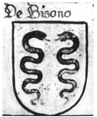
Coat of arms of the De Bisono family featured in the Archinto armorial, vol. II, and reproduced in the Cremosano armorial with the name BISSONE.
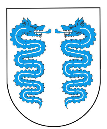
Official coat of arms of the municipality of Bissone
The formation of the village
The ancient village of Bissone stretched from the Oratory of San Rocco (1) to the Church of San Carpoforo (2). Upstream, it was bordered by a boundary wall (3), which had four gates (4, 5, 6, 7) that were the only access points to the village. These were closed in the evening for defensive purposes and to prevent wild animals from entering. The mule track connecting the village to Campione and Maroggia ran parallel to the wall. To the south-west, the village was closed off by the lake.
The first houses were built close to the wall, at a higher level than the lake, sheltered from flooding. Later, the village expanded towards the lake shore, the centre of working life linked to traffic and fishing, in a comb-like pattern that gave rise to the current districts. Over the centuries, new houses were built, forming the current row of houses with their characteristic porticoes (8), mostly the work of artists from the 16th, 17th and 18th centuries. With the construction of the Melide dam bridge (1847), the connection with neighbouring towns was modified and the cantonal road came to lie between the houses and the lake shore (9). The construction of the Lugano-Chiasso railway line (1874) and the motorway (1960-70) definitively defined the appearance of Bissone, separating the old village from the new settlements.
From the first settlements to the current village
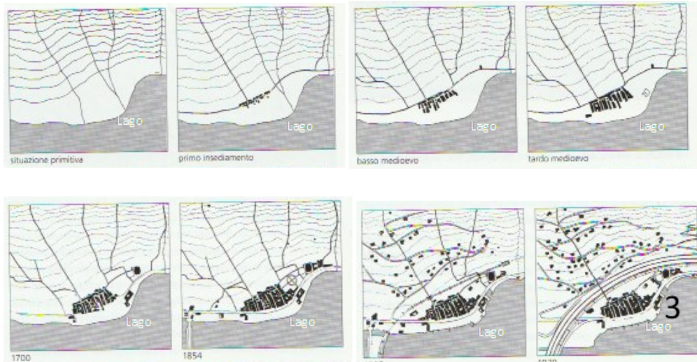
Comb structure Upstream boundary wall

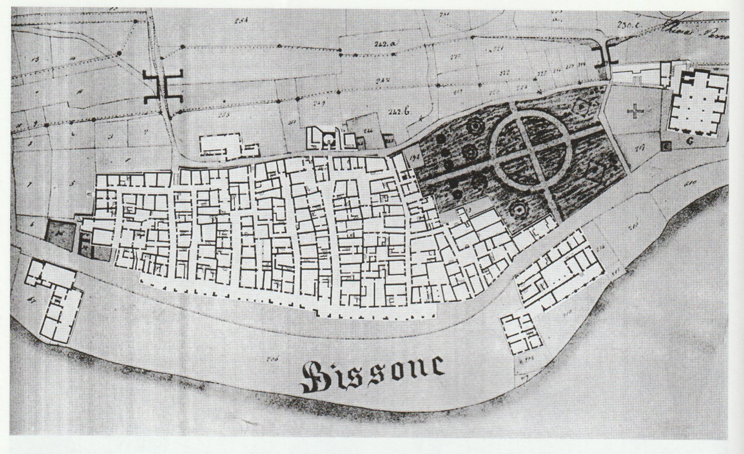
Insert Land Registry Plan 1854
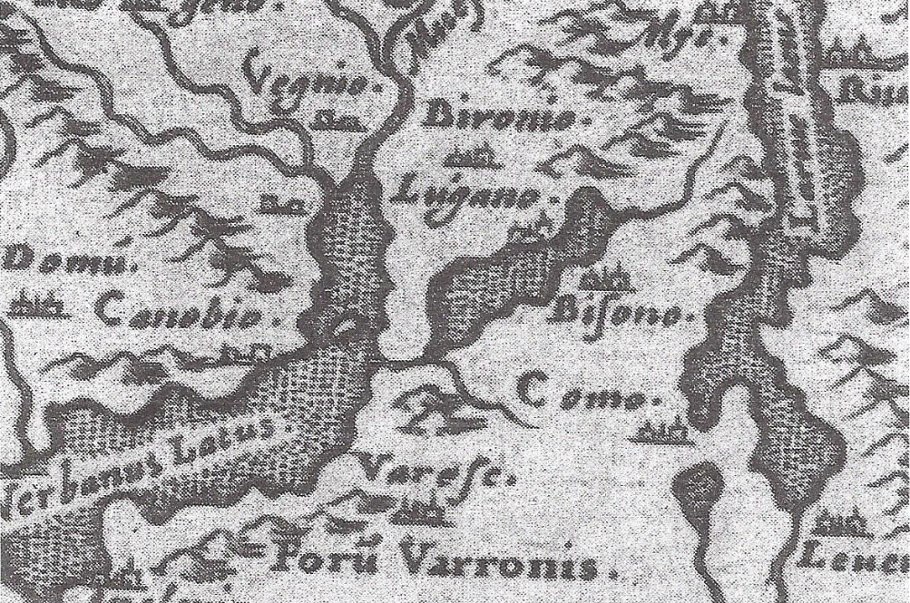
11th century map that roughly represents Verbano, Lario and Ceresio.
On the latter, only two locations are indicated: Lugano and Bisono (Bissone).

